Mapme — custom interactive maps, no code
A platform for building custom, interactive maps without writing code — geographical data, locations, events and points of interest, embeddable and shareable.
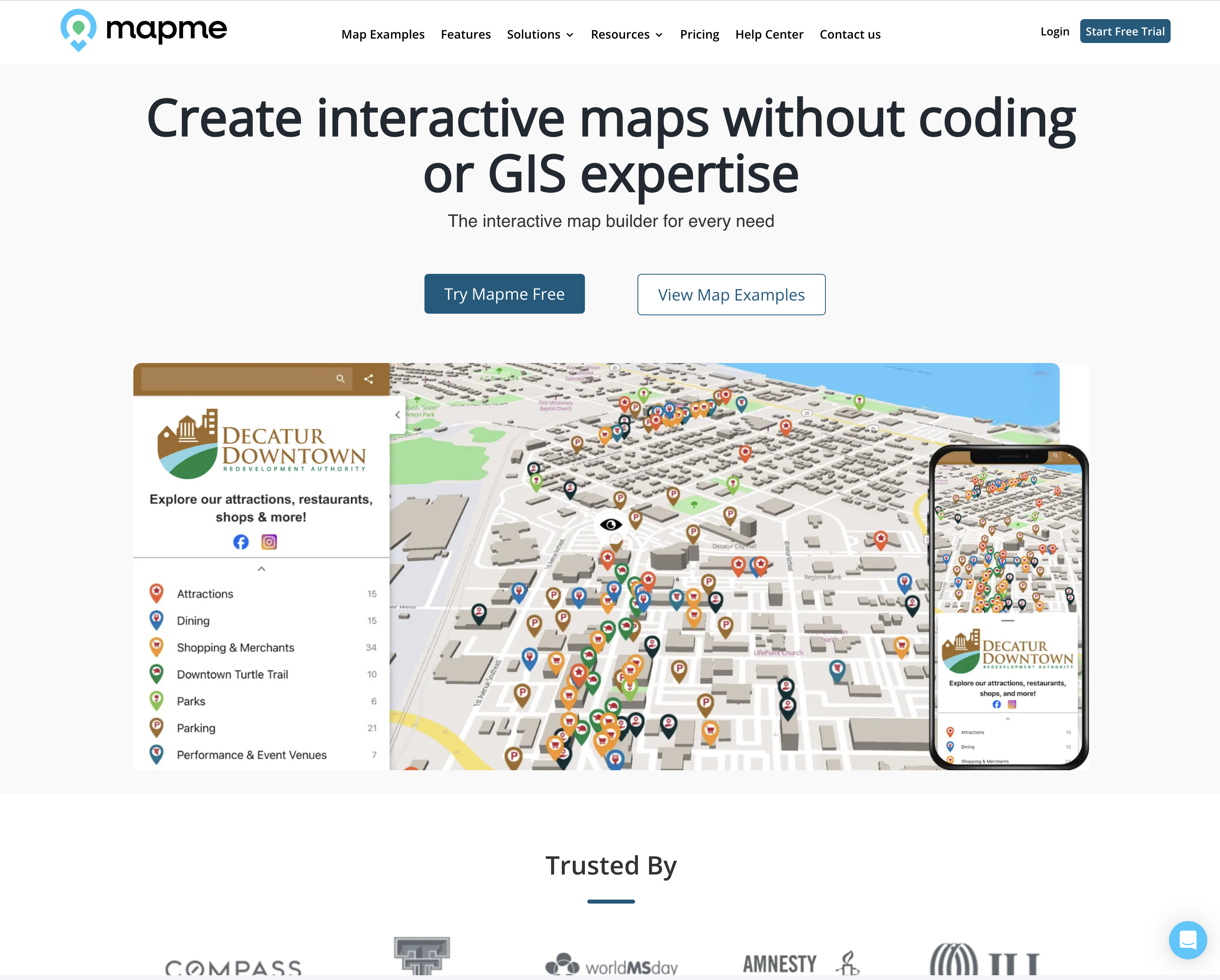
Maps for people who don't write code
Individuals and organisations needed a simple way to build and share custom, interactive maps without technical or mapping expertise.
Mapme lets users create custom, interactive maps with no coding skills — built for individuals, businesses and organisations that want to represent geographical data, locations, events or points of interest visually.
The interface lets users input data and control exactly how it displays, including icons, colours and pop-up information. Finished maps can be embedded on a website or shared directly. We delivered the platform on Vue.js, Express.js, Socket.io, MongoDB and AWS.
The map builder
Input data, customise the display, publish or embed.
What we built
Custom maps without a developer
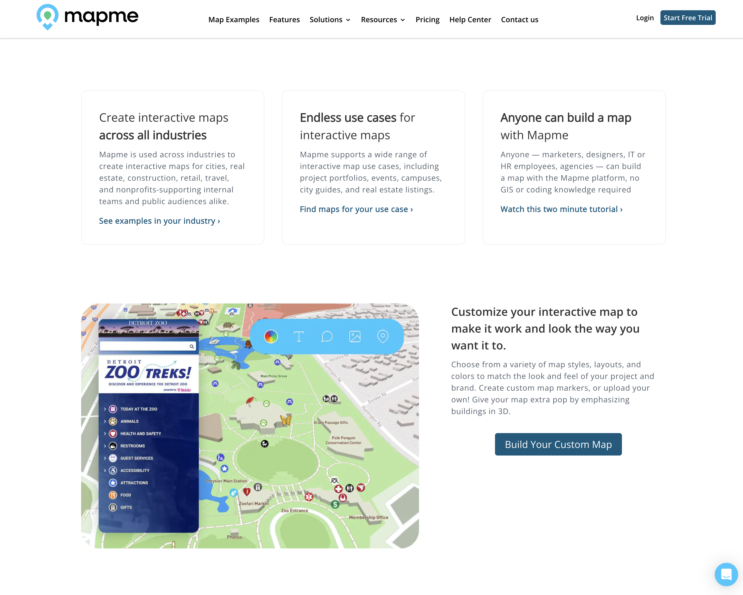
A user-friendly interface for entering data and customising display — icons, colours and pop-up content.
- —Data input UI
- —Icons & colours
- —Pop-up information
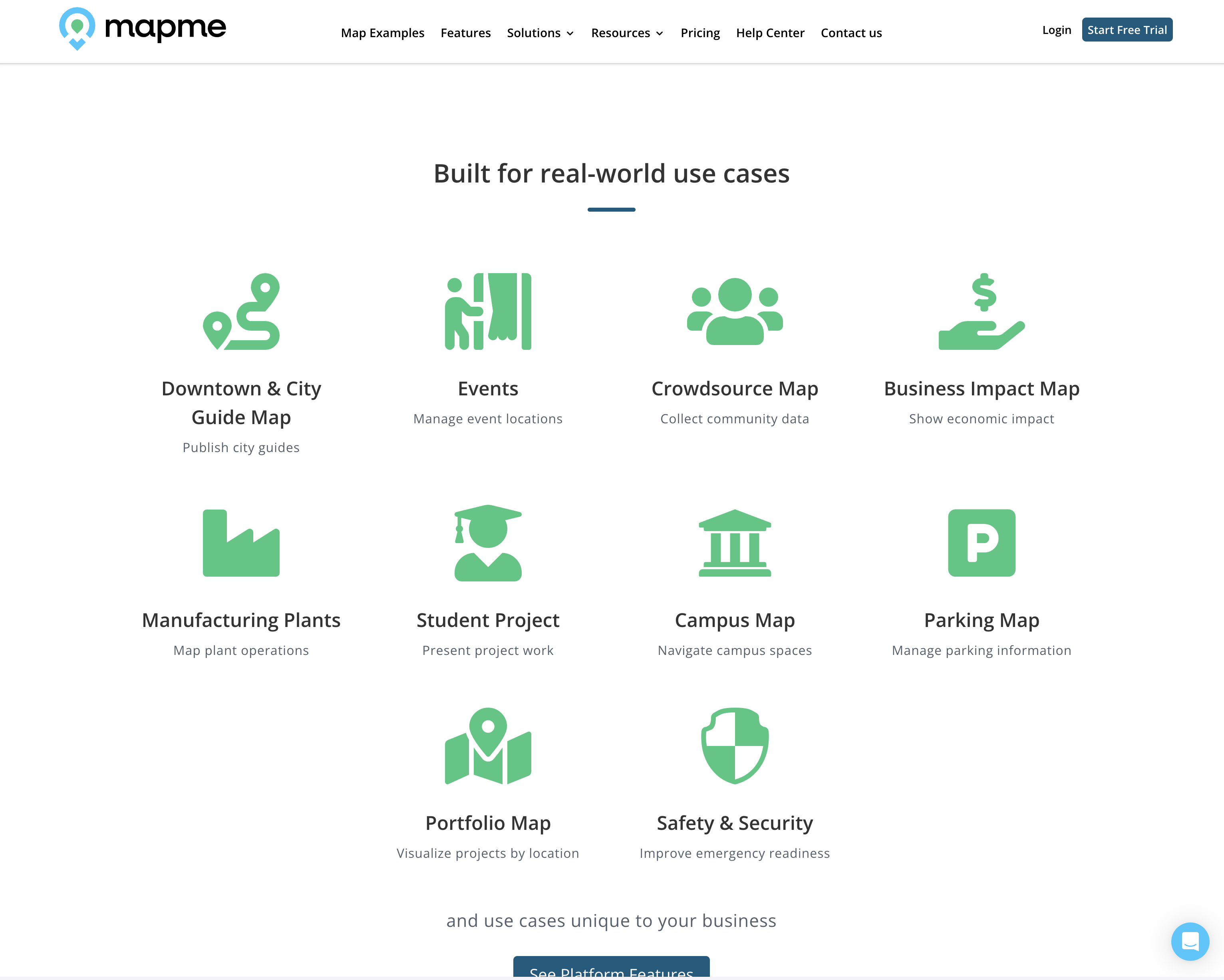
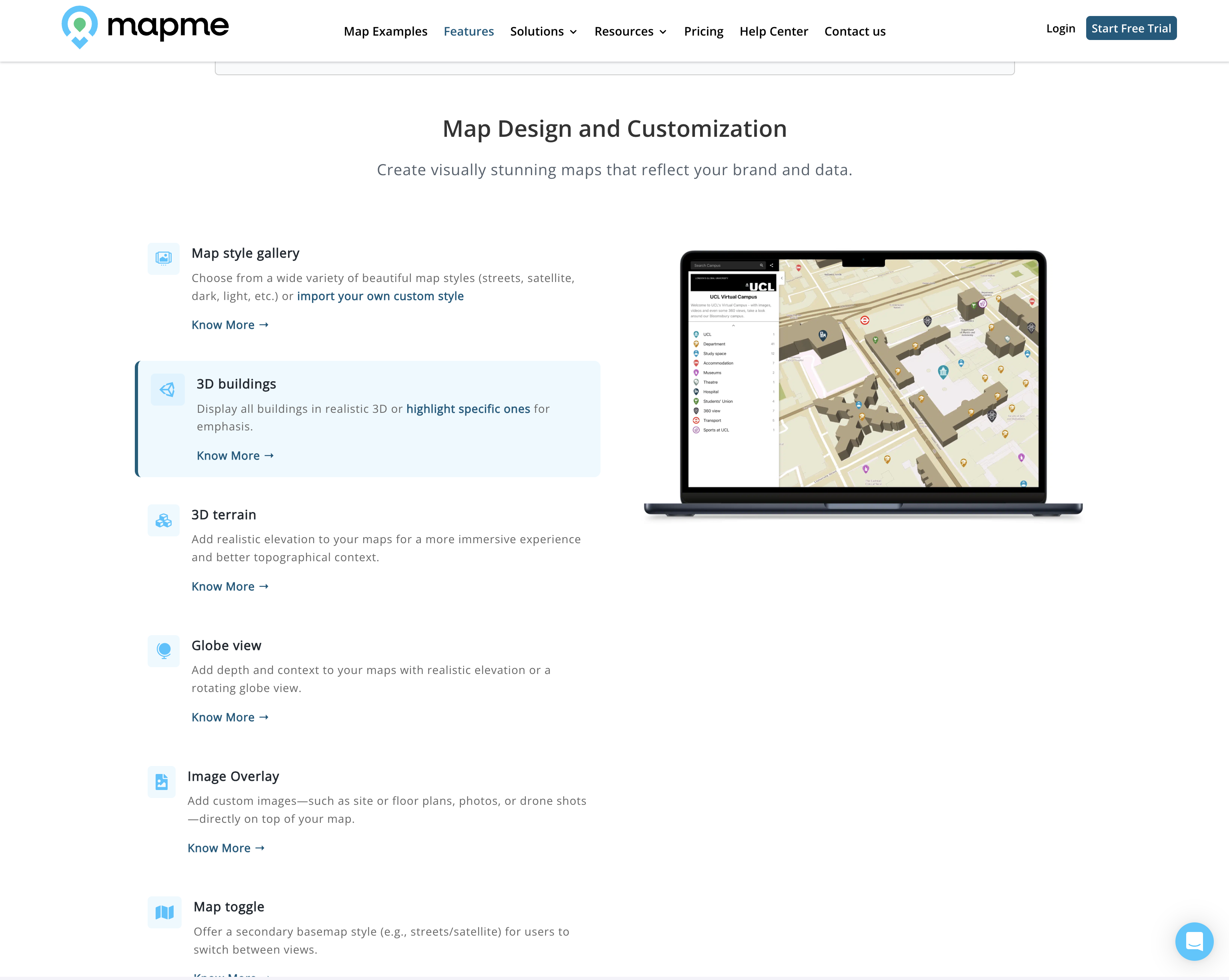
Locations, events and points of interest
Represent regional data and points of interest visually for public or internal audiences.
- —Locations & events
- —Points of interest
- —Regional data
Publish anywhere
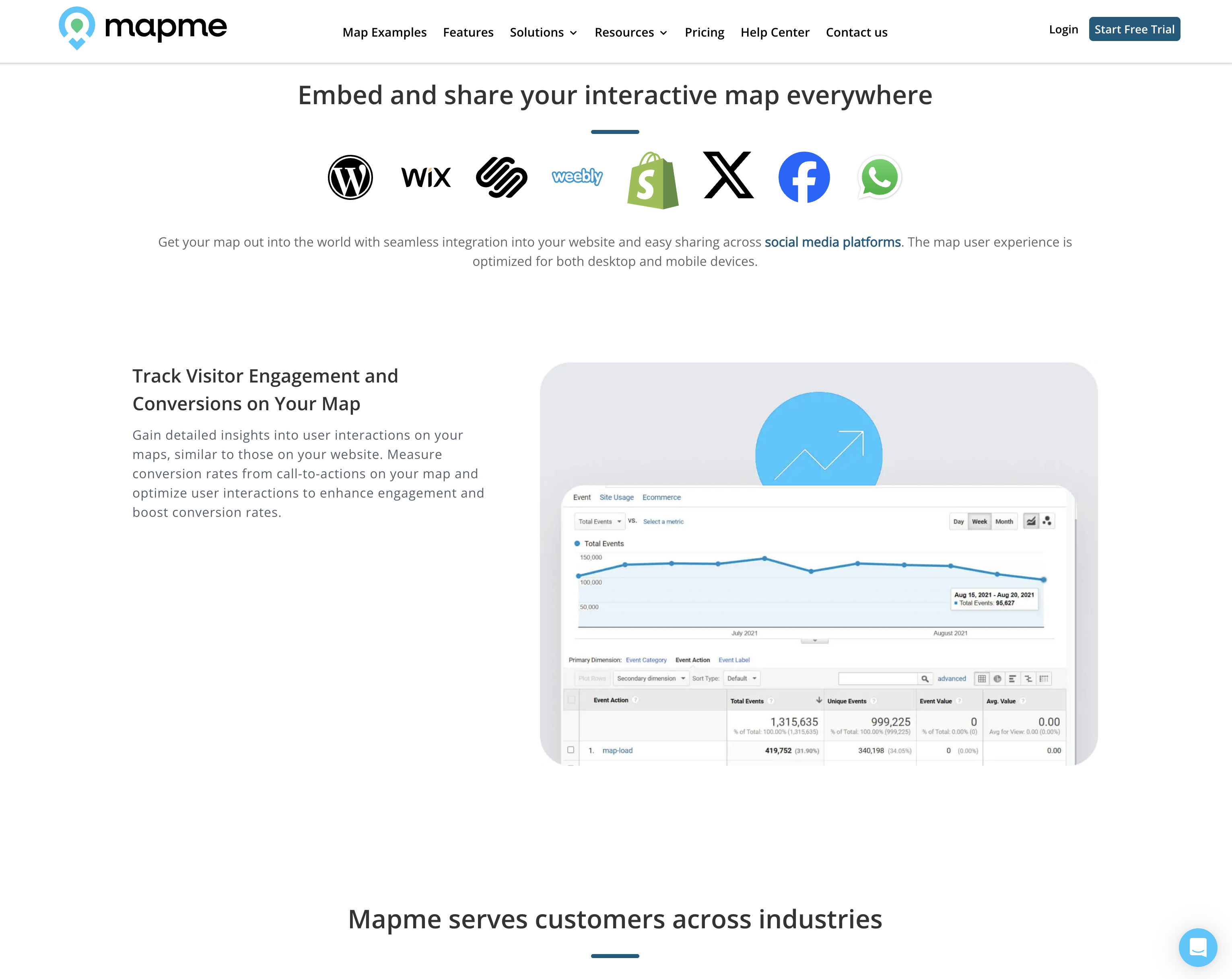
Maps embed on any website or share by link, for collaboration and public-facing use.
- —Website embeds
- —Shareable links
- —Collaboration
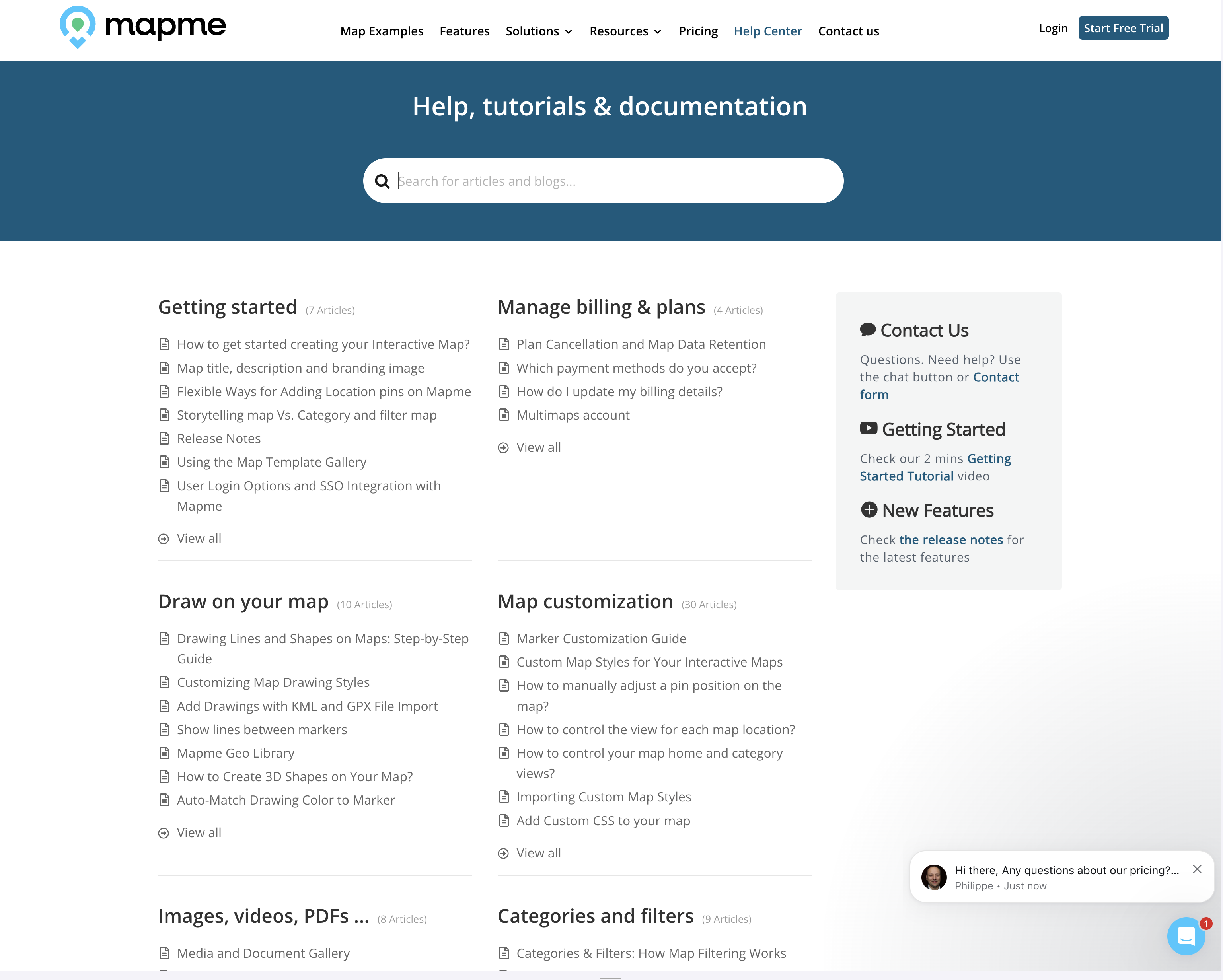
More screens
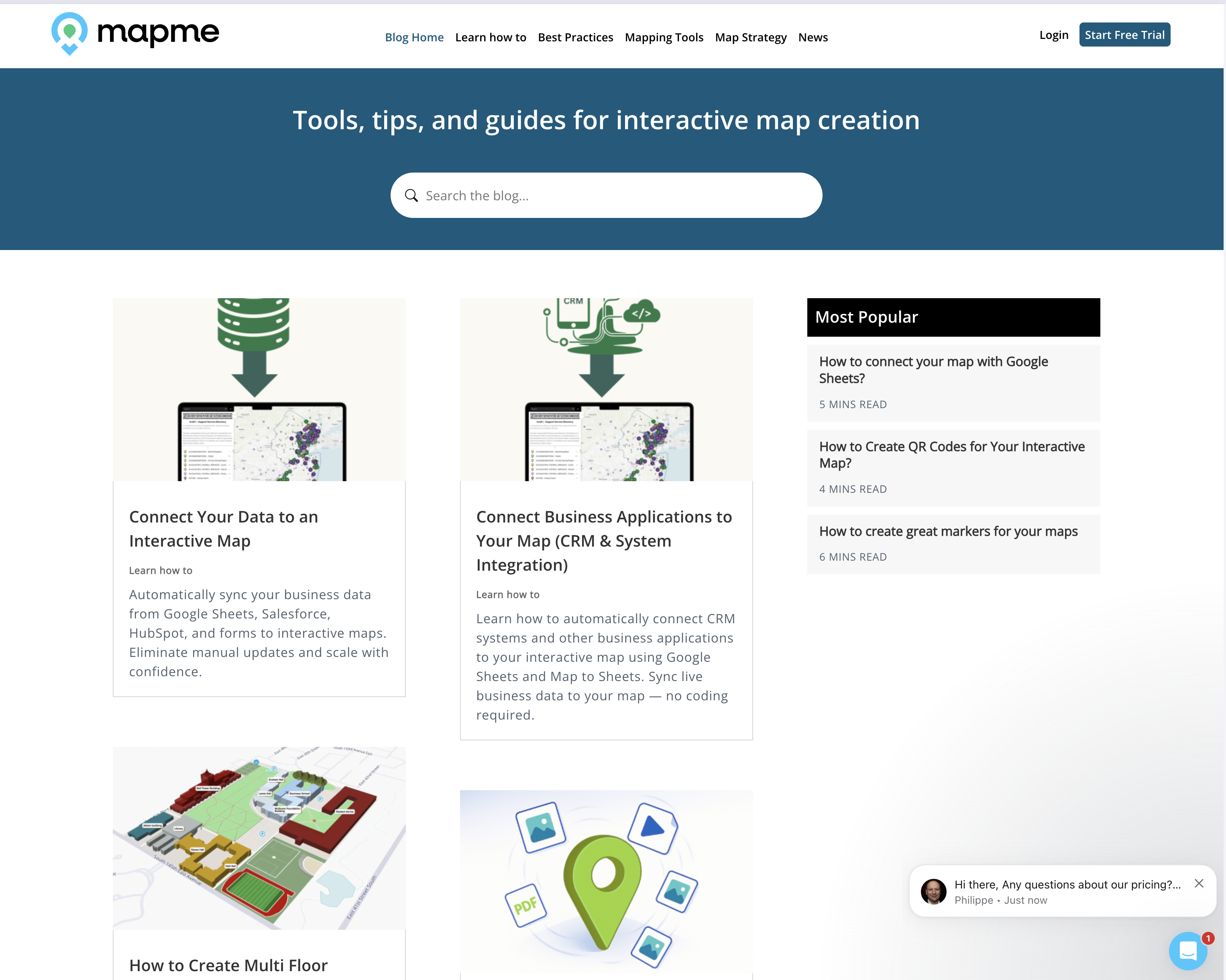
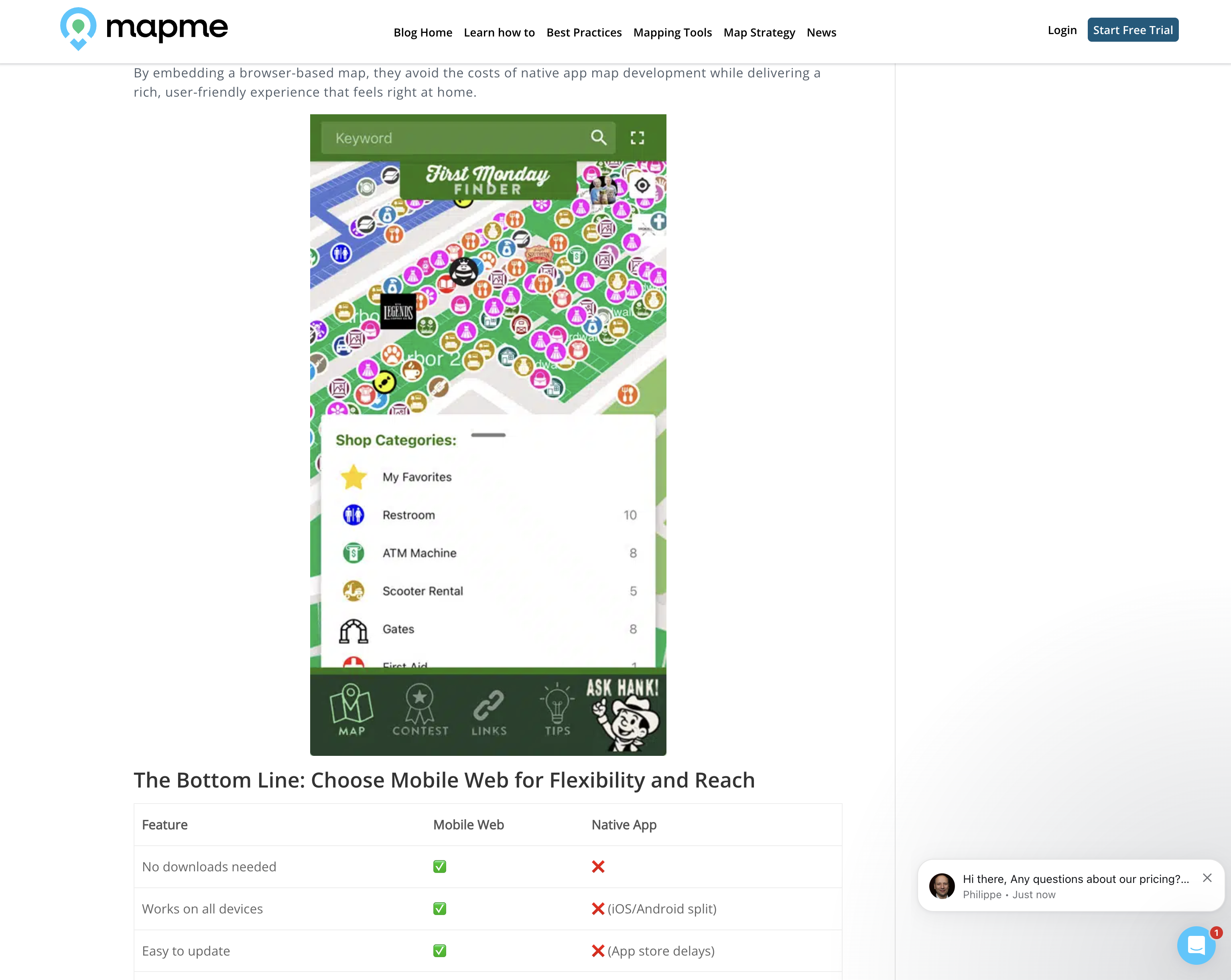
More cases
Have a similar project in mind?
The first call is a free 30-minute technical scoping session.
Book a call